ACREAGE: 81
Explore the trails
- Blazes: Blue
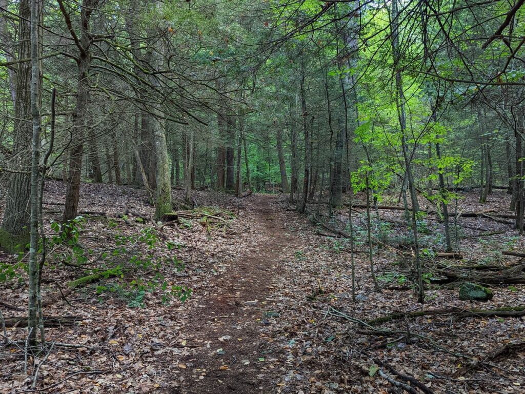
- Name: Waquaheag (wok'-wah-hey) Trail
- Duration: 1.3 mile loop if starting from bridge; 1.7 miles if starting from the upper parking area next to Cherry Brook Rd.
- Difficulty: Moderate
- Trailhead: 84 Cherry Brook Rd.
- Blazes: Red
- Name: Horseshoe Loop
- Duration: 0.3 mile partial loop, starts and ends on blue trail
- Difficulty: Moderate
- Trailhead: Starts and ends on the blue trail.
- Blazes: White
- Name: no name
- Duration: 0.1 mile shortcut for hikers choosing to skip a portion of the blue trail
- Difficulty: Easy
- Trailhead: Starts and ends on the blue trail.
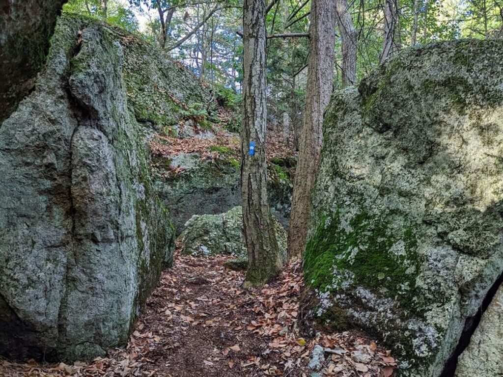
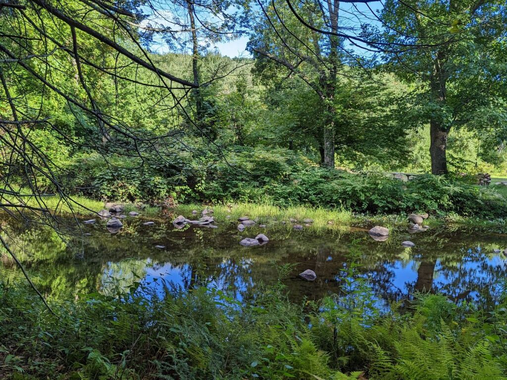
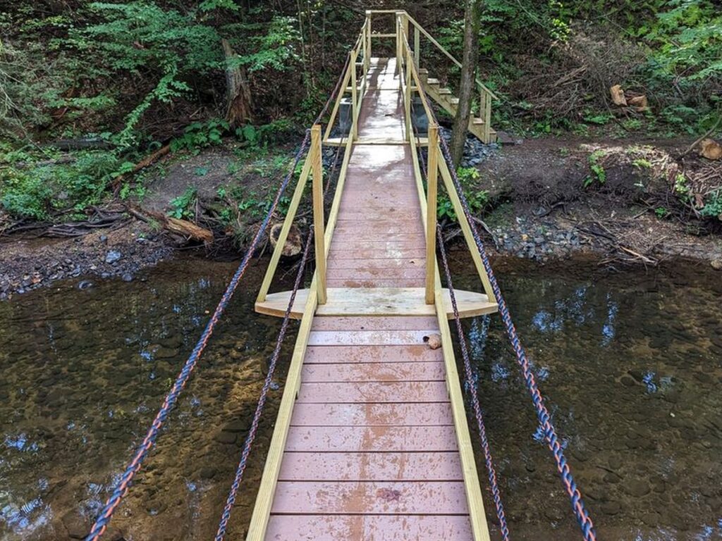
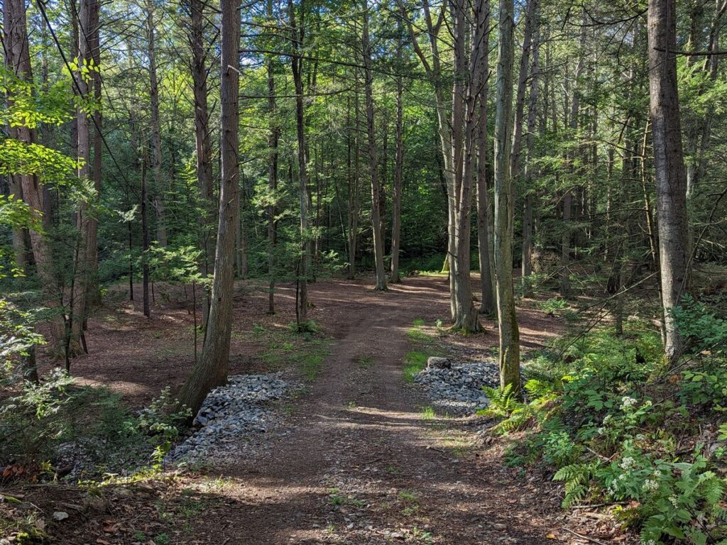
A lot of variety in a small woodland area! Cherry Brook, a new bridge, a rocky climb with some great little cliffs and then you actually pass between huge boulders as part of the trail. The red trail is named “Horseshoe Loop” because we found, and refurbished, a horseshoe pit created by the Pratt family. Stop and play!
Dog Policy
- Dogs on or off leash must be under control and close to the trails at all times.
Please be considerate to other hikers and trail neighbors - clean up after your dog and take litter with you.
Directions & parking
The trailhead is located at 84 Cherry Brook Road (Route 179). In Google maps, search for "Pratt Trailhead".
Park in the gravel parking area near 84 Cherry Brook Drive. The gate at the entrance of Cherry Brook Preserve is locked, so you can only enter the preserve on foot.
Following is a link to a story map which summarizes these plans. This project is in progress, partially supported by a Canton Community Fund grant.
The next link documents the progress of this initiative:
History of the property
The 81-acre Cherry Brook preserve consists of four parcels. In 2012, Winifred Pratt donated the 22-acre parcel known as Pratt Place to the land trust in memory of her husband Leon Pratt. In 2019, Alfred Reid donated a 2.3-acre parcel adjacent to Pratt Place. In 2021, Elizabeth Cotterman and Gerald Green donated a 26-acre parcel also adjacent to Pratt Place. In 2026, the Bristol family donated a 31-acre parcel on the west side of the existing preserve.
In 2022, CLCT began a project to add a bridge, a parking area, a trail, a pollinator pathway demonstration project, and still hopes to add educational signage. By 2026, the bridge and trail are completed. The parking area is usable with some additional fencing planned. Some educational signage is in progress, while the pollinator pathway project is no longer planned.
By 2026, the bridge and trail are completed. The parking area is usable with some additional fencing planned. Some educational signage is in progress, while the pollinator pathway project is no longer planned.
The trail has been named after Waquaheag, the Native American name for an individual better known to locals as Cherry, for whom the Cherry Brook and Cherry Brook Road were named.