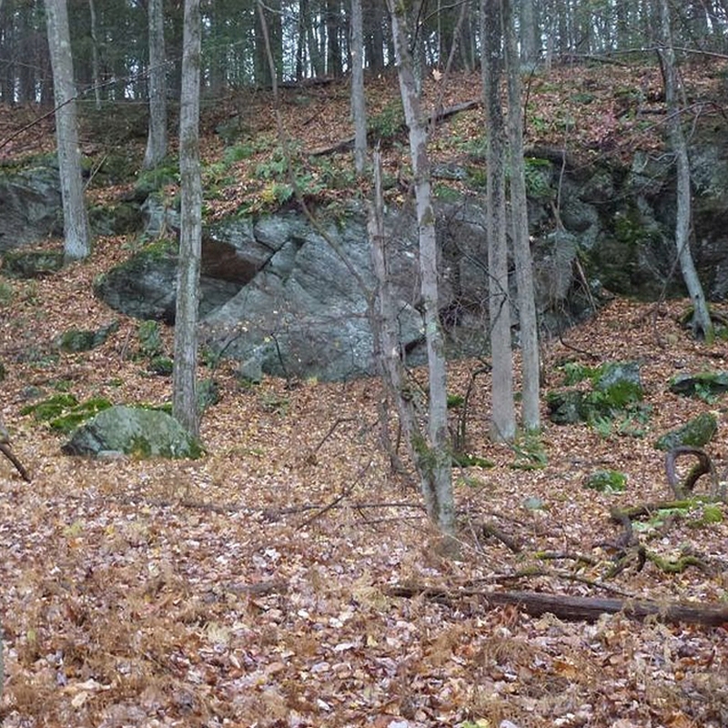
Geocache at Sweetheart Mountain Trails
Be part of the world largest treasure hunt
The Canton Land Conservation Trust is excited to announce the Sweetheart Mountain Trails will officially become part of the world’s largest treasure hunt – and we are inviting you to join the many Canton residents already participating.
What is Geocaching?
The treasure hunt is called “geocaching.” This global game began on May 3, 2000, only one day after the U.S. government stopped intentionally reducing the accuracy of GPS signal information
from its satellites available to the public. The practice, called “selective availability,” had been in place for national security interests. On May 3, a researcher in Beavercreek, Oregon hid a bucket
in the woods and posted the coordinates online for others to find using their handheld GPS devices. Two separate individuals located the bucket within three days. Soon, thanks to the
power of the Internet, people were hiding “stashes” which later became “caches” all over the country and sharing the coordinates online.
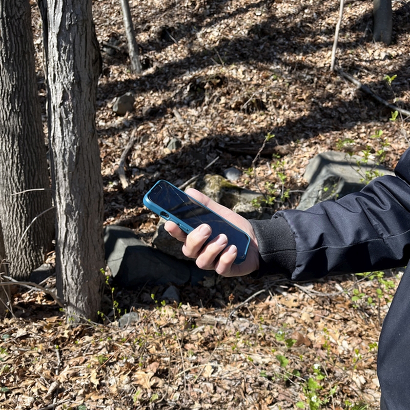
Millions of people play this “secret” game worldwide by using a free app available at geocaching.com. After downloading the app on your phone and creating a username, you can look at a digital map and see the hidden caches, including dozens in Canton.
Each hidden cache on the map has a data page that contains information critical to your search. The individual who hid the cache typically provides parking information, attributes about its size
and whether the cache is suitable for kids or wheelchair accessible and when it was last located. The caches found on Canton properties range in size from that of a mailbox to one that can fit in
the palm of your hand.
After selecting a cache to find on the geocaching.com app, you press the “navigate” button that will tell you the direction and distance from the cache in miles and feet. Your phone will vibrate
once you get within 30 feet of a cache. If you still cannot find the hidden cache, there is often a hint that can help narrow your search. While geocaches are always hidden, and in some cases
very cleverly hidden, they are never buried underground.
Most geocaches contain a log sheet to record your username and date you found the cache. Or, you can record it in the app. Others contain small trinkets you can trade in exchange for an object
you leave behind.
Guidelines for geocaches on CLCT properties
The Canton Land Conservation Trust has developed a policy and guidelines for hiding caches on CLCT properties. If you plan to hide a cache, the authorization will be considered through a review process, which begins with receipt of your geocaching request. You can request a geocache and copy of the Geocache Policy and Guidelines via email on our Contact Us web page or by clicking on the green Contact Us Button below. In the meantime, if you plan to hide a cache, please follow these best practices:
- Ask the CLCT for permission. Although more than a dozen geocaches are already hidden on CLCT properties, you must ask the land trust for permission to hide a cache
before you do it. - Safety first. Never hide your cache in a place that endangers others – like the side of a cliff or beyond “no trespassing” signs, etc. Caches should be hidden just a few feet off
trails and not require extensive bushwhacking through brush. - Be respectful of others. Most of your neighbors simply want to hike and enjoy the trails without engaging in a treasure hunt. (Geocachers affectionately call these people
“muggles.”) Caches should not be placed near people’s homes. - Maintain your cache. The app allows you to report missing, waterlogged or damaged caches to the user who hid it. If you plan to hide a cache, it is your responsibility to
maintain it.
First CLCT approved geocache on Sweetheart Mountain Trails
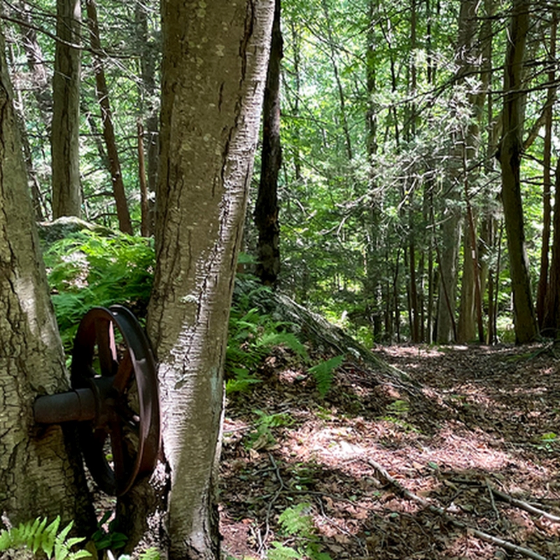
The first “official” geocaches permitted by the CLCT were hidden on the Sweetheart Mountain trails by the Gjede family – town residents and supporters of the Canton Land Conservation Trust. The Geocaches can be found on geocaching.com by searching for Sweetheart Mountain #1 and Sweetheart Mountain #2.
The Gjede family found their first geocache years ago on the trails at Roaring Brook Nature Center. “My wife, Jessica, and I love to hike,” says Eric Gjede “We thought it would be easier to get our three kids to go out more often if they knew they’d be participating in a treasure hunt along the way.”
“The mission of the Canton Land Conservation Trusts is to acquire, preserve and protect land of scenic, natural or historical value within the town of Canton,” CLCT President Phil Philbrick says. “However, it is also part of our mission to promote public awareness and enjoyment of the land. We are happy to embrace geocaching if it means people are finding their way to these properties and recognizing the value of the trusts’ efforts.”
