ACREAGE: 63
Explore the trails
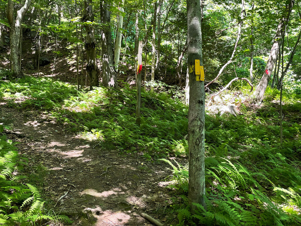
- Blazes: Yellow, red, blue, blue with white dot
- Duration: About 2.5 miles total, loop
- Difficulty: Challenging (yellow and blue) to moderate (red) to easy (blue with white dot)
- Trailhead: Dunne Avenue
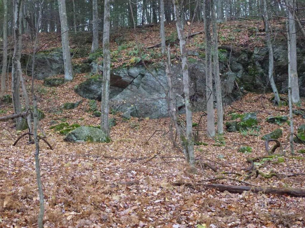
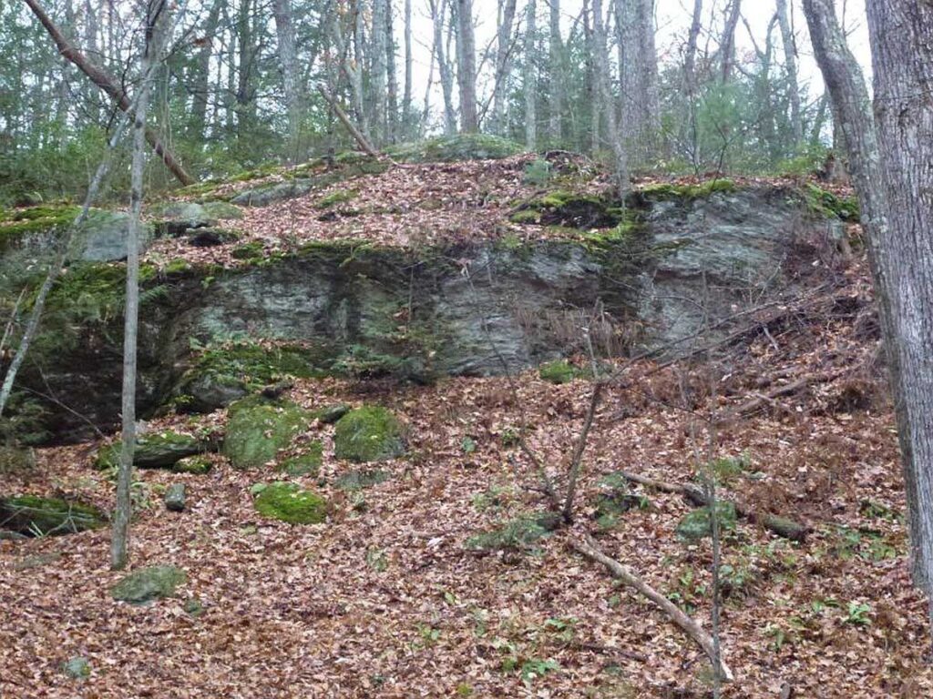
Tackle a strenuous up- and downhill hike on this trail network, which loops through woodlands and past a scenic overlook of Collinsville and the Farmington River. Altogether, the trails are about 2.5 miles in length and about 500 feet in elevation.
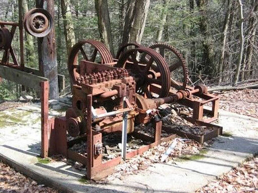
This land is the former home of the Canton Ski Club, so you’ll get a close a look at old ski lift equipment along the way. Please stay on the trails so you don't trespass onto adjacent lands, including the MDC watershed property that bans public access.
Dog Policy
- Dogs on or off leash must be under control and close to the trails at all times.
Please be considerate to other hikers and trail neighbors - clean up after your dog and take litter with you.
Directions & parking
From the Route 179 bridge in Collinsville, go straight up the hill onto Bridge Street. Turn right on Dunne Avenue (one-way). Turn left at 84-98 Dunne Ave. into the unpaved parking area on the left – look for the land trust sign. In Google maps, search for Sweetheart Mountain Trailhead.
All hikers start on the yellow-blazed trail, which leads uphill past the ski club’s old rope tow gear.
History of the property
The 63-acre Sweetheart Mountain Preserve was formerly the location of a ski area maintained by the Canton Ski Club, which offered recreational skiing for adults and children in Canton from 1948 to 1975. Part of the property was donated to the Canton Land Conservation Trust (CLCT) in 1991, and our land trust acquired the rest through a conservation agreement in 2006.