ACREAGE: 55
Explore the trails
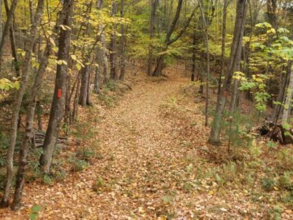
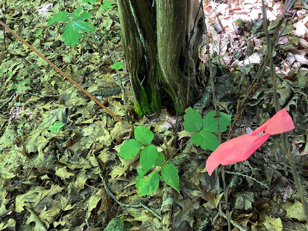
- Blazes: Red, Yellow
- Duration: 1.0 mile, out and back
- Difficulty: moderate
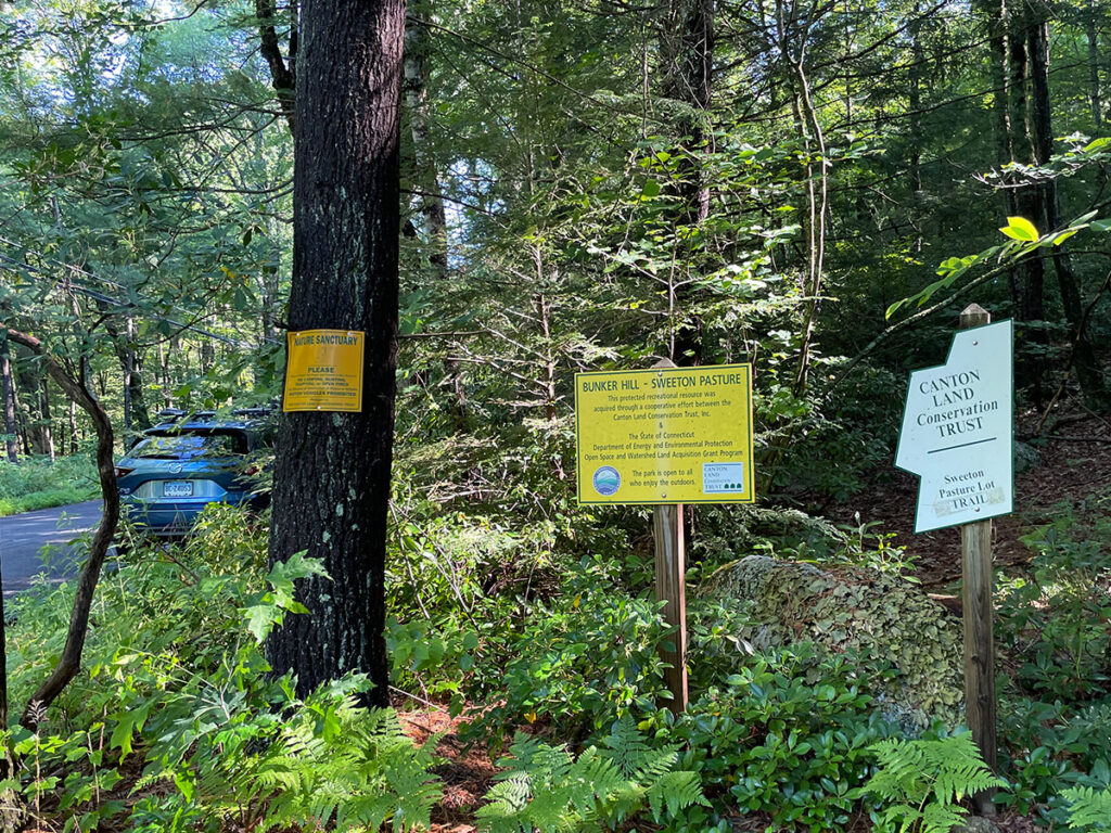
- Trailhead: Near 77 Bunker Hill Rd.
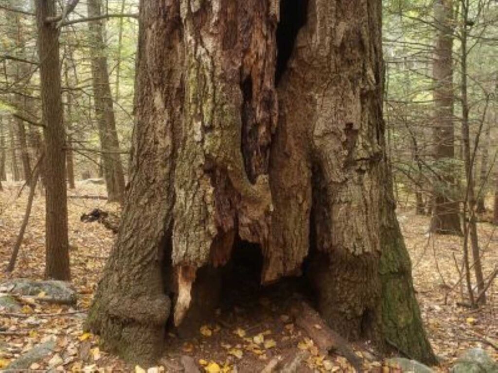
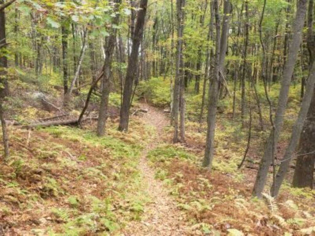
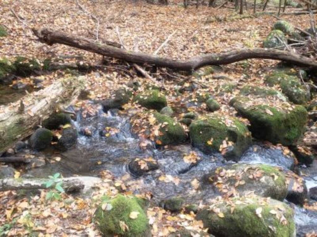
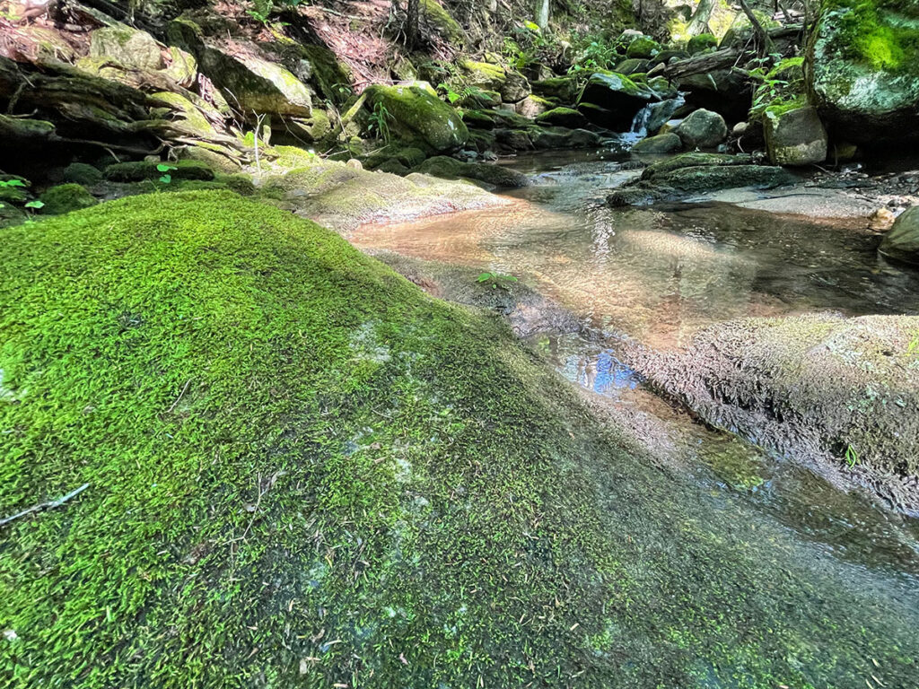
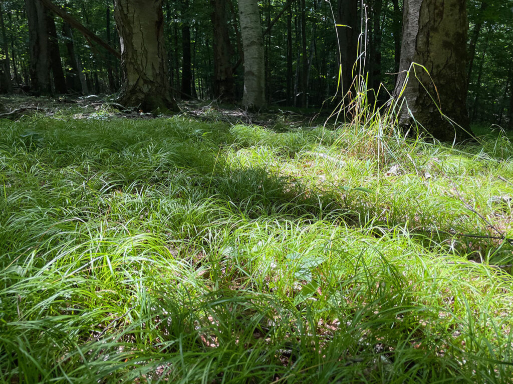
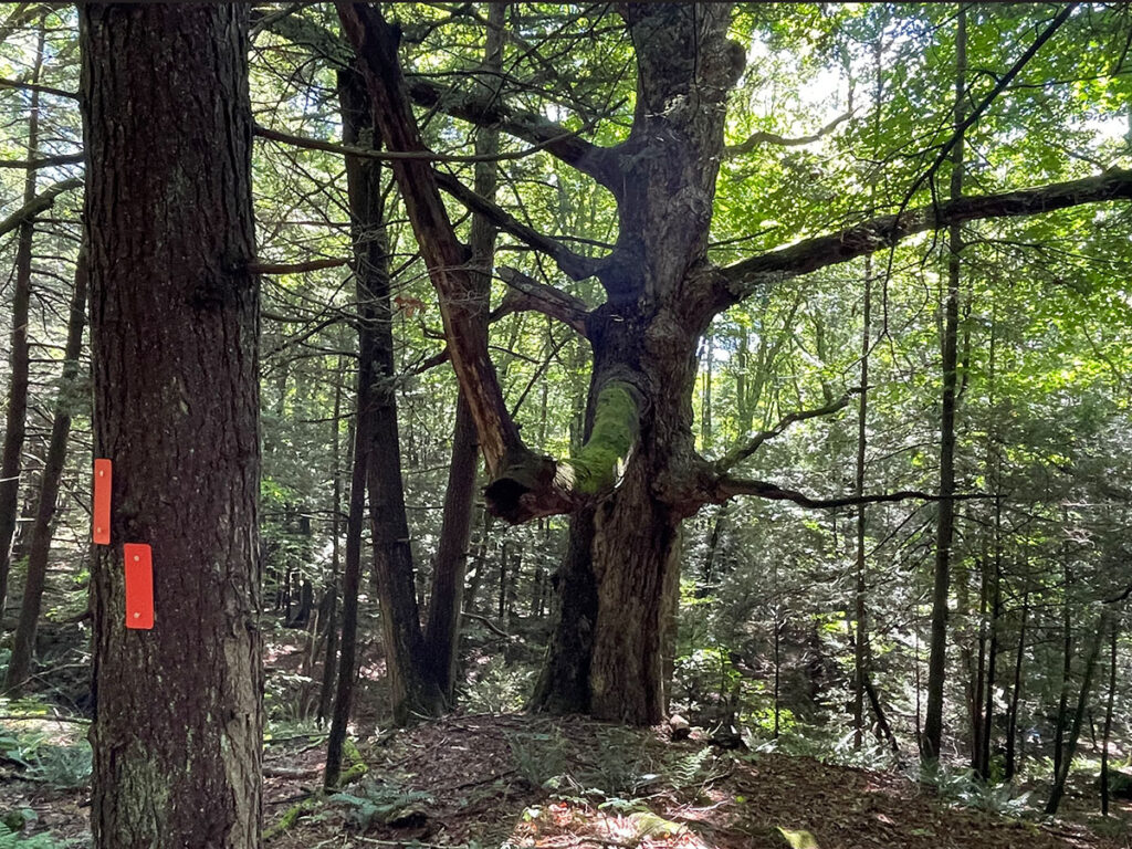
This 30-minute trail is a pretty walk through a wooded area, including a loop extension that passes by a tributary to Cherry Brook, a bridge over the tributary and a loop alongside Cherry Brook.
While you’re in the area, check out the short Baker Trail, which begins about a half-mile away from the Bunker Hill trailhead.
Dog Policy
- Dogs on or off leash must be under control and close to the trails at all times.
Please be considerate to other hikers and trail neighbors - clean up after your dog and take litter with you.
Directions & parking
The trailhead is located on the east side of Bunker Hill Road, about a half-mile north of its junction with Hanson Road. Park off the side of the road along the land trust sign. There is no formal parking area. In Google maps, search for Bunker Hill trailhead.
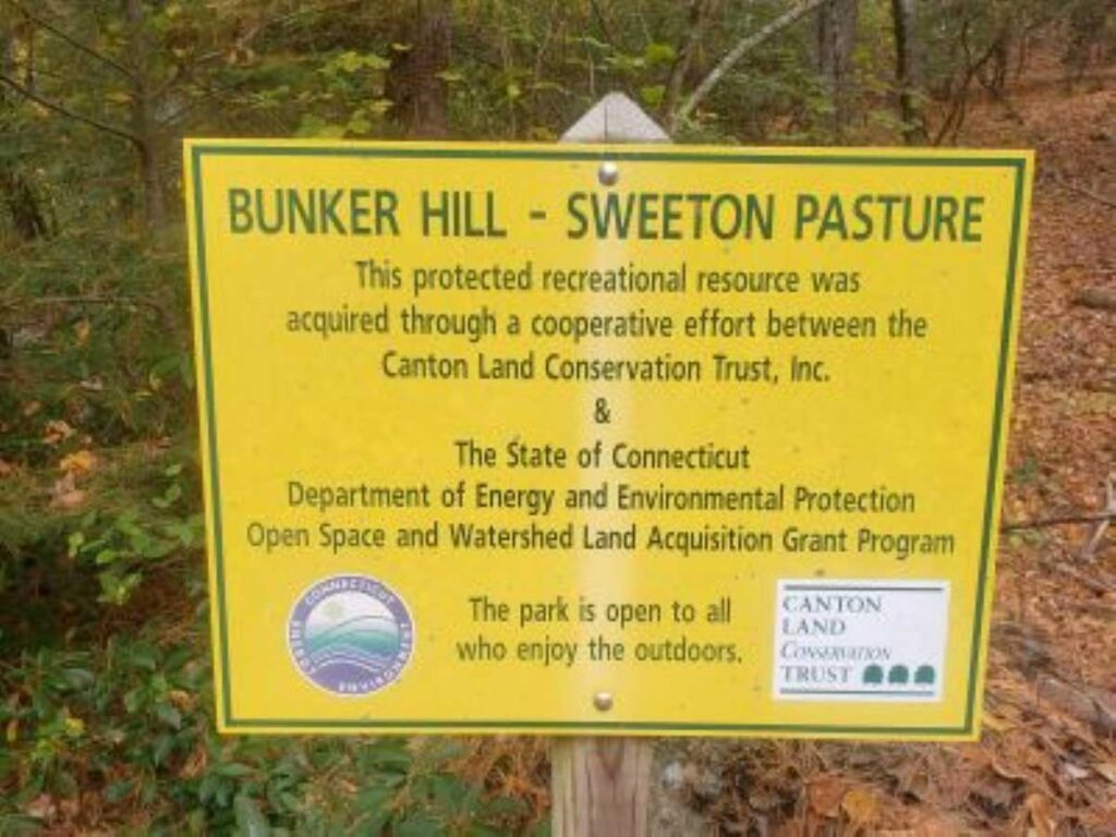
History of the property
The Bunker Hill Preserve consists of 55 acres, acquired as three separate parcels.
In 2006, with the support of a DEEP grant, the Canton Land Conservation Trust (CLCT) purchased the first parcel, often referred to as Sweeton pasture. In 2018, the Goodwin family generously donated 4 acres, expanding the property. In 2020, CLCT purchased an additional 12 acres abutting Cherry Brook, again with DEEP support.
Keith Thomas, a local Boy Scout working on his Eagle Scout requirements, was instrumental in creating the red-blazed trail. He recruited fellow Scouts to lay out the potential trail, then helped clear and blaze it.
In 2023, Ethan Newell, also working on his Eagle Scout requirements, built the bridge to cross the tributary, then laid out the yellow-blazed loop, now called the Scout Trail.