ACREAGE: 35
Explore the trail
- Blazes: Red
- Duration: 1.8 miles, out and back
- Difficulty: Moderate
- Trailhead: 105 Case Street
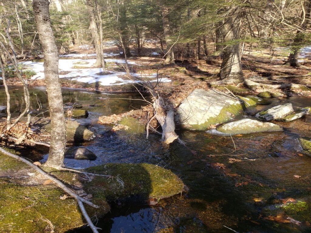
This 50-minute trail is a pretty walk, past Carpenter pond, through wetlands and a wooded area, with a rock bridge across a small steam, leading to a short loop.
Dog Policy
- Dogs on or off leash must be under control and close to the trails at all times.
Please be considerate to other hikers and trail neighbors - clean up after your dog and take litter with you.
Directions & parking
The trailhead is located at a small parking area at 105 Case St. In Google maps, search for Carpenter trailhead, or W464+XQ Canton, Connecticut. The entrance is not obvious; if you are headed north on Case Street and you see Brookridge Road, you just missed it.
History of the property
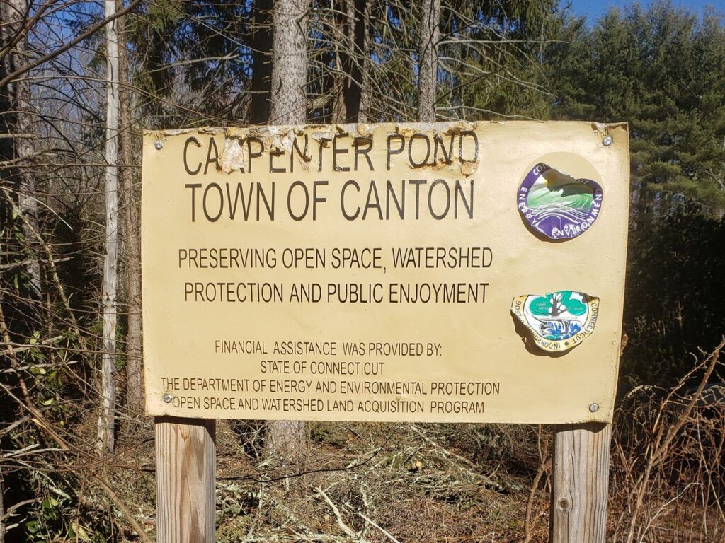
In 2011 the Town of Canton acquired a 35-acre parcel of property located at 105 Case St. as part of its initiative to preserve open space within the town. The purchase of the property was assisted by a DEEP grant of $97,500. The following summer, Ryan Vaillancourt, a scout with Troop 177, undertook a project to identify the start of a trail through the property and led a work party to clear and mark the trail. The year after, Justin Fortier, also a scout with Troop 177, extended the trail east and south, identifying a route and leading a work party to clear and mark the trail.
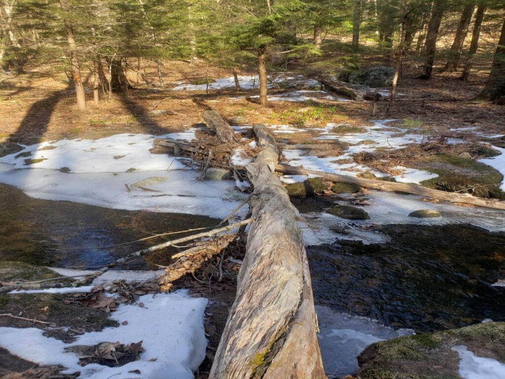
In 2021, the land trust reached out to the town offering to help with the stewardship of the trail. The town accepted our proposal, and several work party events were scheduled to do general cleanup of the trail and parking area, including the removal of a large pine tree that had fallen into the small pond. The log crossing was abandoned, and a work crew led by Scott Persing created a stone crossing a few yards upstream from the old crossing.
We also identified that the original trail, constructed before the availability of good handheld GIS equipment, ventured off the town property and onto a neighbor’s property. That section of the trail has been relocated, as well as a relocation necessary to accommodate the new stream crossing. One other section was relocated slightly, with the permission of the neighboring landowner, to avoid a perpetually wet section.
The trail is a delightful, approximate 1.8-mile (round-trip) hike. It’s mostly an out and back with a small loop at the easternmost end. It starts out going through a moderately wet area, then meanders through the woods, crosses a delightful stream via a steppingstone bridge and then loops before returning. Take care to watch for the red blazes as there are two well-worn but unmarked trails that go onto private property.


